
OpenET is a new web-based platform that puts NASA data on water in 17 western United States into the hands of farmers, water managers and conservation groups
OpenET uses publicly available data to provide satellite-based information on evapotranspiration (the "ET" in OpenET). The primary satellite dataset for OpenET is from the Landsat program, a partnership between NASA and the U.S. Geological Survey (USGS). The most recent satellite in the program, Landsat 9, successfully launched on Sept. 27, 2021.
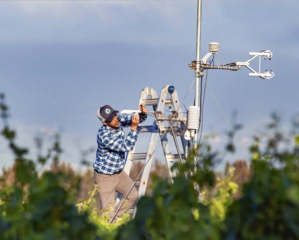
Evapotranspiration is the process through which water leaves plants, soils, and other surfaces and returns to the atmosphere. It's a measurement that farmers can use to estimate the amount of water being taken up or used by their fields and crops and that will usually need to be replaced through irrigation or rainfall.
Knowing how much water is transferred to the air allows farmers to better calculate crop water requirements, helping them to use water more efficiently and better plan irrigation. This makes evapotranspiration a crucial measurement for farmers and other water resource managers, especially in the western United States where the majority of the water used by people goes to irrigate crops and produce food.
Continue reading at NASA
Image via NASA


