
A first-ever database compiling movement of the largest rivers in the world over time could become a crucial tool for urban planners to better understand the deltas that are home to these rivers and a large portion of Earth’s population.
A first-ever database compiling movement of the largest rivers in the world over time could become a crucial tool for urban planners to better understand the deltas that are home to these rivers and a large portion of Earth’s population.
The database, created by researchers at The University of Texas at Austin, uses publicly available remote sensing data to show how the river centerlines of the world’s 48 most threatened deltas have moved during the past 40 years. The data can be used to predict how rivers will continue to move over time and help governments manage population density and future development.
“When we think about river management strategies, we have very little to no information about how rivers are moving over time,” said Paola Passalacqua, an associate professor in the Cockrell School of Engineering’s Department of Civil, Architectural and Environmental Engineering who leads the ongoing river analysis research.
The research was published today in Proceedings of the National Academy of Sciences.
The database includes three U.S. rivers, the Mississippi, the Colorado and the Rio Grande. Although some areas of these deltas are experiencing migration, overall, they are mostly stable, the data show. Aggressive containment strategies to keep those rivers in their place, especially near population centers, play a role in that, Passalacqua said.
Read more at: University of Texas at Austin
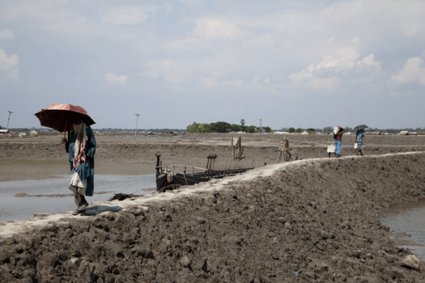
The Ganges river delta in Asia. (Photo Credit: The University of Texas at Austin)


