
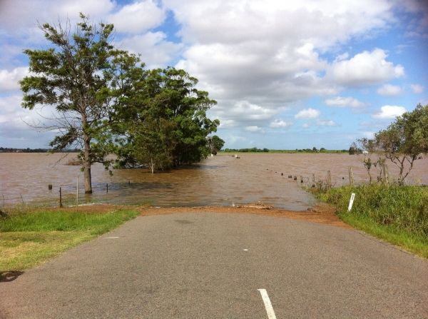
Understanding how climate change will affect the flooding of rivers may become easier with a new framework for assessing flood risk that's been developed by an interdisciplinary team from Penn State.
Understanding how climate change will affect the flooding of rivers may become easier with a new framework for assessing flood risk that's been developed by an interdisciplinary team from Penn State.
"New home builders want to know how high they have to put their buildings to be safe for the future," said Alfonso Mejia, associate professor of civil and environmental engineering. "They want to know how the flood zones are going to change in the future."
The Federal Emergency Management Agency issues flood maps for areas near rivers, but according to the researchers, FEMA does not update its maps frequently, nor does it project the future potential impact of climate change on how areas will flood. FEMA flood maps are based on historically observed flood records, not future possible events.
"FEMA does a good job in mapping flood hazards, but the part we are incorporating is the future climate so we can understand the impact of climate on flood hazards and exposure," said Mejia.
Read more at: Penn State
Photo Credit: boheemianbikini via Pixabay


