
“Hurricane Hunter” aircraft are mobilizing for an expanded 13-week period that began Jan. 5 to glean critical data for improving forecasts of atmospheric river storms over the Pacific Ocean.
“Hurricane Hunter” aircraft are mobilizing for an expanded 13-week period that began Jan. 5 to glean critical data for improving forecasts of atmospheric river storms over the Pacific Ocean. Such storms provide up to half of the U.S. West Coast’s annual precipitation and a majority of the flooding.
The flights are part of the Atmospheric River Reconnaissance (AR Recon) program led by UC San Diego’s Center for Western Weather and Water Extremes (CW3E) at Scripps Institution of Oceanography with support from the U.S. Army Corps of Engineers and California Department of Water Resources. The program works in coordination with NOAA’s Office of Marine and Aviation Operations and the U.S. Air Force Reserve 53rd Weather Reconnaissance Squadron “Hurricane Hunters” to execute data-collecting missions within these storms.
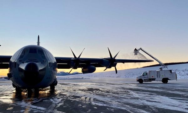
This winter, two Air Force Reserve WC-130J Super Hercules aircraft will be on standby to fly out of Mather Air Force Base near Sacramento, Calif., when atmospheric rivers approach the West Coast. NOAA will station its Gulfstream IV-SP jet in Hawaii during this year’s operations. Dropsonde instruments will be deployed from these aircraft over specialized transects over atmospheric rivers, transmitting critical data on the vertical profile of water vapor, wind, and temperature carried in fast-moving, low-altitude airstreams that form the atmospheric river.
Read more at University of California - San Diego
Image: A WC-130J Super Hercules aircraft before a mission to deploy drifting buoys from Ketchikan, Alaska. Photo credit: US Air Force 403rd Wing.


