
Remote sensing could help experts monitor Nile hydrology as a new reservoir is filled.
As the Grand Ethiopian Renaissance Dam (GERD) in Ethiopia nears completion, the giant structure on the main stem of the Blue Nile is expected to bring new electricity, economic activity, and development to Ethiopia. It should help regulate and prevent some destructive flooding in Sudan, while also bringing changes in the timing and volume of water flowing to farmers and others living downstream in Egypt.
NASA-funded researchers are developing satellite-based tools and techniques to make it easier to monitor and manage the new dam. Their goal is to help minimize ecological impacts and maximize economic benefits to the countries and people across the watershed. Satellites offer one of the best ways to assess what is happening in real time.
Hisham Eldardiry, a research associate at the Pacific Northwest National Laboratory (PNNL), is one of the scientists examining the dam from a distance. With support from NASA’s Applied Sciences program, Eldardiry authored multiple studies on whether satellites can be used to monitor reservoir height and discharge rates from dams like GERD. His research also examined how water managers could manage the rate of filling the GERD reservoir to minimize downstream effects on the High Aswan Dam in Egypt. He also investigated whether the Blue Nile has enough water for GERD’s 13 turbines to generate electricity to their full capacity.
Continue reading at NASA Earth Observatory
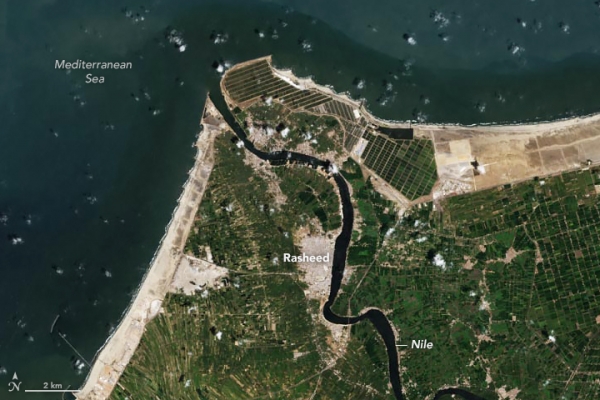
Image via NASA Earth Observatory


