
Using a concept adapted from the mathematics and biology communities, a scientist at NASA's Langley Research Center developed a method to directly measure snow depth using lidar measurements from the Ice, Cloud and land Elevation Satellite-2 (ICESat-2).
A NASA scientist is adding a new dimension to the climate-observing powers of a satellite instrument whose main mission is to measure the height of Earth's ice sheets and sea ice. And the inspiration for this new method comes from how ants walk around their colonies.
Using a concept adapted from the mathematics and biology communities, Yongxiang Hu of NASA's Langley Research Center in Hampton, Virginia, developed a method to directly measure snow depth using lidar measurements from the Ice, Cloud and land Elevation Satellite-2 (ICESat-2). Lidar uses pulses of laser light to make measurements, similar to how sonar uses sound. Hu worked with other scientists at NASA, the University of Arizona, Stevens Institute of Technology, and Ball Aerospace.
Snow depth is an important measurement in understanding climate, weather, and Earth's water cycle, but there are limits to current measurement methods. To determine how to use ICESat-2's laser to directly measure snow depth, Hu turned to a principle he adapted from biologists and physicists who figured out the average length of the path an ant travels inside its colony before coming back out. What those scientists came up with is that the average time an ant walks around inside the colony before coming back is roughly four times the volume of the colony divided by its surface area.
Continue reading at NASA Langley Research Center
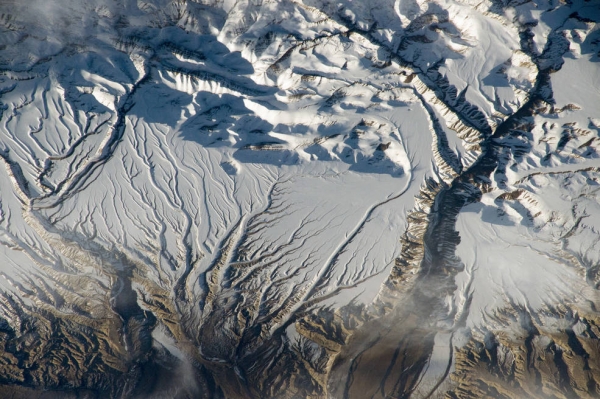
Image via NASA Langley Research Center


