
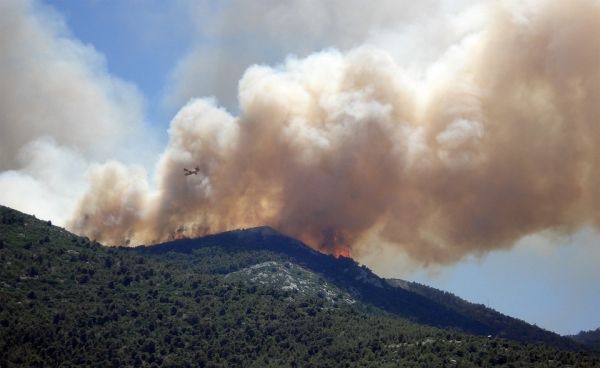
Plane-mounted laser imaging has allowed scientists to map the size, shape, and density of trees in the Sierra Nevada mountains in California, revealing how low- and moderate-intensity burns make forests more resilient to larger blazes.
Plane-mounted laser imaging has allowed scientists to map the size, shape, and density of trees in the Sierra Nevada mountains in California, revealing how low- and moderate-intensity burns make forests more resilient to larger blazes.
Historically, scientists could only map small plots of forest in great detail, which limited the scope of studies. But with high-resolution laser imaging, or “lidar,” scientists can gather more refined data on a broader swath of woodlands, offering greater insight into their response to fire, as scientists detailed in a recent article in Eos. Previous fieldwork, for instance, suggested that low-severity fires only affected underbrush, but lidar research in Yosemite National Park indicates that weak fires also incinerate dead and unhealthy trees, keeping forests vibrant.
Other lidar research found that parts of Yosemite subjected to repeated burns began to look as they did before the arrival of Europeans, with ample open space in between tree stands. The research further showed that even a single moderate burn in a dense forest could restore the gaps and openings typical of the precolonial era. The findings underscore the role that prescribed burns can play in keeping forests healthy, as thinner forests with fewer dead or dying trees can better withstand severe wildfires.
Read more at Yale Environment 360
Photo Credit: Saiho via Pixabay


