
A team of scientists has developed more accurate forecasts to predict the impacts of wildfire smoke on air quality.
The efforts to create these better forecasts stemmed from the Disaster Relief Act of 2019, in which NOAA’s Office of Oceanic and Atmospheric Research (OAR), the National Weather Service (NWS), and NESDIS partnered to deliver improved forecasts of wildfire smoke impacts on air quality.
The method known as Regional Hourly Advanced Baseline Imager (ABI) and Visible Infrared Imaging Radiometer Suite (VIIRS) Emissions, or RAVE, combines observations from instruments on NOAA’s geostationary and polar-orbiting weather satellites to calculate estimates of wildfire emissions. The instruments – the ABI on the Geostationary Operational Environmental Satellite (GOES) program’s, GOES-16 and GOES-17, and the VIIRS on the Joint Polar Satellite System (JPSS) program’s NOAA-20 – can detect the heat signature, or fire radiative power, from wildfires.
This attribute makes them ideal for monitoring air quality because wildfires are a source of harmful air pollutants including smoke, various volatile and semi-volatile organic compounds, and nitrogen oxides that form ozone and particulate matter. Fine particulate matter (PM2.5), which is 2.5 micrometers or less in diameter – about 30 times smaller than the diameter of an average human hair – is especially concerning because those particles penetrate deep into human lungs and cause various upper respiratory diseases, including premature death.
Continue reading at National Environmental Satellite Data and Information Service
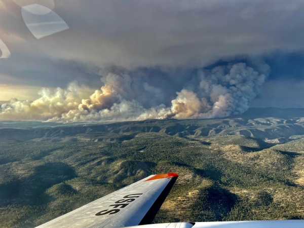
Image via National Environmental Satellite Data and Information Service


