
Part of an array of marine and air uncrewed tools NOAA is using to improve forecast models
In partnership with NOAA, Saildrone Inc. is deploying seven ocean drones to collect data from hurricanes during the 2022 hurricane season with the goal of improving hurricane forecasting. For the first year, two saildrones will track hurricanes in the Gulf of Mexico.
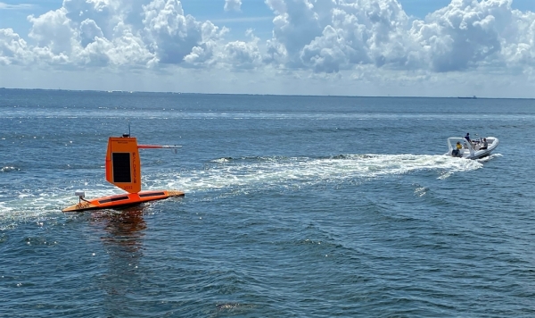
This week, Saildrone launched two saildrones into the Gulf of Mexico, one from St. Petersburg, Florida, and another from Port Aransas, Texas. Five other saildrones were successfully launched this summer from the coast of Jacksonville, Florida and the U.S. Virgin Islands to survey the Atlantic Ocean and Caribbean Sea.
One of the biggest challenges to hurricane forecasting is predicting rapid intensification, when hurricane wind speeds increase at least 35 mph over a 24 hour period. To fully understand how storms intensify, scientists collect data on the exchange of energy between the ocean and atmosphere in the forms of heat and momentum. However, gathering data in this dangerous environment is best accomplished by uncrewed systems.
Continue reading at NOAA Research
Image via NOAA Research


