
The Environmental Protection Agency estimates that the transportation sector accounts for approximately 27% of all greenhouse gas emissions annually in the United States, and emissions from road transportation — driven by carbon-creating internal combustion vehicles — account for a large majority of that.
The Environmental Protection Agency estimates that the transportation sector accounts for approximately 27% of all greenhouse gas emissions annually in the United States, and emissions from road transportation — driven by carbon-creating internal combustion vehicles — account for a large majority of that.
For years, researchers have tried to measure these emissions more closely, but existing inventories are often outdated, incomplete and limited.
Now, scientists at the Johns Hopkins Applied Physics Laboratory (APL) in Laurel, Maryland, have leveraged artificial intelligence and machine learning (ML) to produce accurate estimates for road transportation emissions of the top 500 emitting cities worldwide.
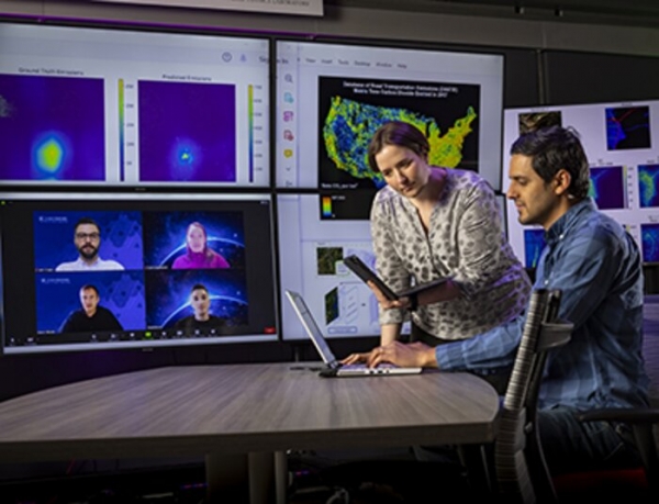
“In particular, we were able to estimate the average annual daily traffic on individual road segments in urban areas and combined this with localized estimates of vehicle emissions factors to produce a total emissions estimate,” explained Marisa Hughes, the assistant program manager for Environmental Resilience in APL’s Research and Exploratory Development Mission Area.
Read more at Johns Hopkins University Applied Physics Laboratory
Image: Marisa Hughes (center) works with a team that includes experts in machine learning, remote sensing and computer vision to leverage artificial intelligence to produce accurate estimates for road transportation emissions of the top 500 emitting cities worldwide. (Credit: JHU/APL, Ed Whitman)


