
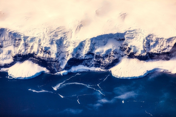
Researchers have been using drones to map large areas of Antarctica this summer in efforts to monitor the effects on vegetation due to climate change with the support of the Federal Government’s Australian Antarctic Division.
Researchers have been using drones to map large areas of Antarctica this summer in efforts to monitor the effects on vegetation due to climate change with the support of the Federal Government’s Australian Antarctic Division.
The drone-derived imagery is being used by researchers from QUT and Auckland University of Technology – with assistance from University of Wollongong - to evaluate the fragile ecosystem, particularly moss beds, and changes in the extreme environment.
For almost two months, the field team was based in Antarctica, with indications the drones they piloted captured unprecedented high-resolution imagery of vegetation and biodiversity in protected areas.
The vision taken from Australian Specially Protected Areas (ASPAs 135 and 136), not far from the scientists’ base settlement of Casey Station, identified areas with moss and lichen not previously picked up by satellite.
Read more at Queensland University of Technology
Photo Credit: 12019 via Pixabay


