
In parts of California’s iconic mountainous coasts, breathtaking beauty is punctuated by brusque signs warning spectators to stay back from unstable cliffs.
In parts of California’s iconic mountainous coasts, breathtaking beauty is punctuated by brusque signs warning spectators to stay back from unstable cliffs. The dangers of coastal erosion are an all-too-familiar reality for the modern residents of these communities. Now, with a new tool, researchers are bringing historical perspective to the hotly debated topic of how to manage these disappearing coastlines.
Using a model that incorporates measurements of the amount of time coastal cliffs and their remnant deposits were exposed at the Earth’s surface, Stanford researchers found that the rate of cliff erosion in the past 100 years is similar to that of the past 2,000 years. The proof-of-concept, published in the Journal of Geophysical Research: Earth Surface April 17, opens the possibility of using this new approach to understand the long-term history of coastal cliff erosion, or retreat, in other parts of the state. The work was conducted in Del Mar, California, a beach town in San Diego County with infrastructure atop its coastal bluffs.
“In this particular location, these cliff erosion rates have been the same for thousands of years, so we shouldn’t expect them to get lower,” said senior study author Jane Willenbring, an associate professor of Earth and planetary sciences at the Stanford Doerr School of Sustainability. “If anything, we should expect them to be higher in the future.”
Read more at: Stanford University
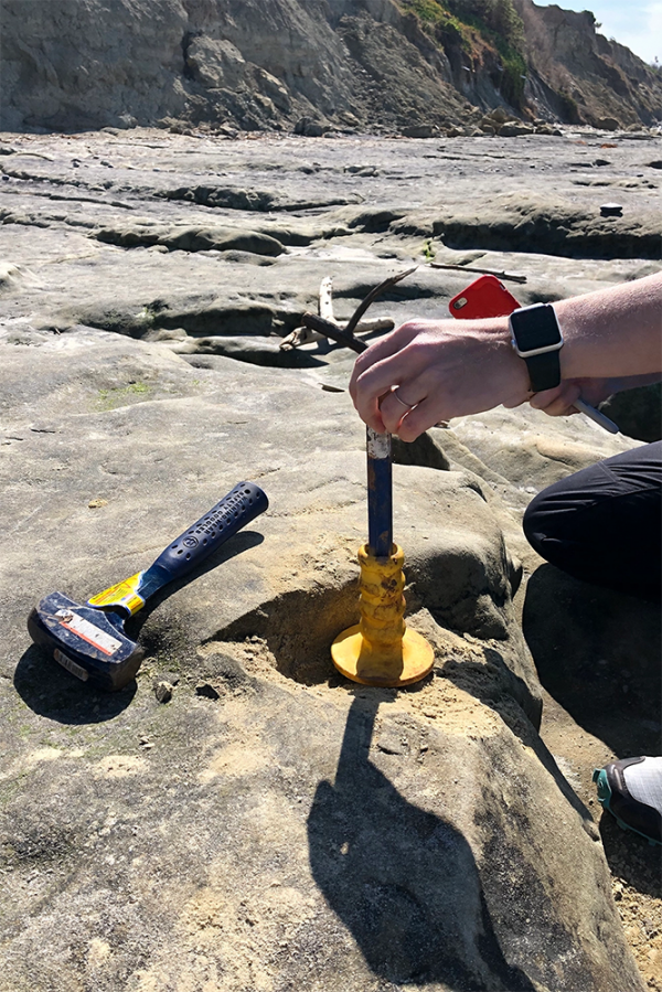
Jane Willenbring sampling shore platform bedrock in Del Mar with a hammer and chisel. (Photo Credit: Travis Clow)


