
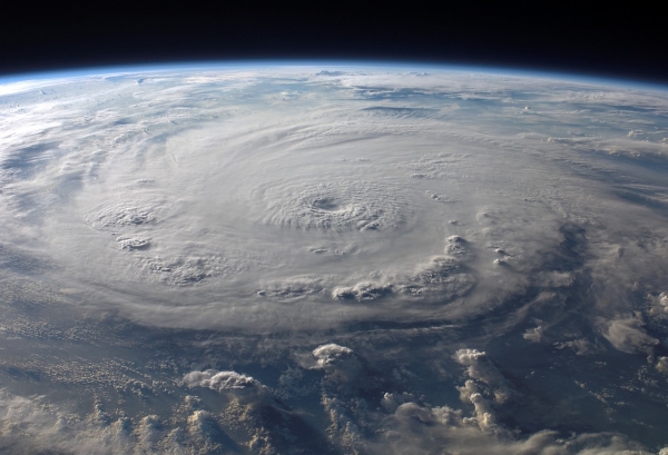
Category 4 Hurricane Ian made landfall in Florida’s Lee County on Sept. 28, 2022, battering the region with wind speeds of 155 miles per hour and storm surge up to 13 feet – the highest storm surge documented in Southwest Florida in the past 150 years.
Category 4 Hurricane Ian made landfall in Florida’s Lee County on Sept. 28, 2022, battering the region with wind speeds of 155 miles per hour and storm surge up to 13 feet – the highest storm surge documented in Southwest Florida in the past 150 years.
In the aftermath of a disaster, rapidly assessing damage is critical for rescue, recovery and emergency planning. Damage assessments are typically conducted through field reconnaissance deployments, which can be labor-intensive, costly and risky. Moreover, field-based emergency response assessments can be hindered by delays and other setbacks due to the severity of the damage and the inability to access the hardest hit areas.
Using remote sensing technology, Florida Atlantic University researchers have developed a novel technique that provides rapid, high-resolution assessments of detailed damage after a hurricane. Using aerial imagery data and LiDAR, they identified the hardest-hit areas of Southwest Florida’s Estero Island and estimated the extent of structural damage. Researchers also compared pre- and post-storm structural or morphological changes to the beach. The study is the first to apply an advanced multi-faceted approach that links damage assessment to post-storm change in the structure of barrier islands.
Read more at Florida Atlantic University
Photo Credit: WikiImages via Pixabay


