
Technique uses deep learning to recognize subtle patterns in ocean surface temperature caused by currents.
Technique uses deep learning to recognize subtle patterns in ocean surface temperature caused by currents.
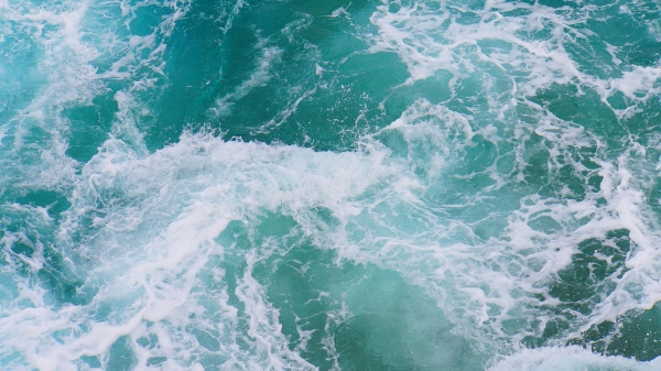
Scientists have developed a new method to measure ocean surface currents over large areas in greater detail than ever before. Called GOFLOW (Geostationary Ocean Flow), the approach applies deep learning to thermal images from weather satellites already in orbit, requiring no new hardware to achieve what the researchers describe as a major advancement in ocean observation.
The study, co-led by Luc Lenain, an oceanographer at UC San Diego’s Scripps Institution of Oceanography, and Kaushik Srinivasan, a Scripps alumnus now at UCLA, was published today in the journal Nature Geoscience. The study's two other co-authors, Roy Barkan of Tel Aviv University and Nick Pizzo of the University of Rhode Island, are also Scripps alumni. The project was supported by grants from the Office of Naval Research, NASA and the European Research Council.
Ocean currents play a huge role in shaping Earth’s weather and climate, transporting heat around the globe, moving carbon between the atmosphere and ocean interior, and redistributing nutrients that sustain life in the sea. Understanding ocean currents are also vital for search-and-rescue operations and tracking the movement of oil spills. Yet measuring currents over large areas of the ocean has remained extremely challenging. Some satellites estimate currents indirectly by measuring variations in sea-surface height, but they typically image the same location only every 10 days or so — too infrequently to track currents that can appear and disappear within hours. Ship-based measurements and coastal radar systems can capture rapid changes but only for limited areas.
Read More: University of California - San Diego
Photo Credit: Mylene2401 via Pixabay


