Scientists study poop patterns of Adélie penguin colonies across all of Antarctica over a 30-year span using Landsat satellite images, a first for capturing food-web and population trends at continental and decadal scales relative to climate change.
Scientists study poop patterns of Adélie penguin colonies across all of Antarctica over a 30-year span using Landsat satellite images, a first for capturing food-web and population trends at continental and decadal scales relative to climate change.
Scientists from a handful of universities across the country have made innovative use of satellite images from NASA: to determine the diet of Antarctic Adélie penguins across the continent by studying their icy feces with the fidelity and frequency that could only be captured by space technology.
The team, whose new study appears in Current Biology, found satellite images to be an ideal way to study colonies across the continent and over the span of decades to figure out what the mid-sized, tuxedo-patterned seabirds eat. This provided measurable insights into how their diets and population correlate to climate-change impacts like shrinking sea ice.
What they found is a concerning trend where global warming is once again threatening an iconic polar species: Over a 30-year period, Adélie penguins in places with more sea ice ate more fish. In years and places with less sea ice, they relied more heavily on krill.
Read More: University of California - Santa Cruz
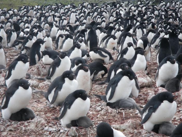
Image: Nesting Adélie penguins on Antarctica's King George Island (Credit: Michael Polito, UC Santa Cruz)