
Scientists have taken the temperature of a huge expanse of seafloor in the Arctic Ocean in new research by the U.S. Geological Survey and the Geological Survey of Canada.
Scientists have taken the temperature of a huge expanse of seafloor in the Arctic Ocean in new research by the U.S. Geological Survey and the Geological Survey of Canada. The study, published in the Journal of Geophysical Research, is accompanied by the release of a large marine heat flow dataset collected by the USGS from an ice island drifting in the Arctic Ocean between 1963 and 1973. These never-before-published data greatly expand the number of marine heat flow measurements in the high Arctic Ocean.
Marine heat flow data use temperatures in near-seafloor sediments as an indication of how hot Earth’s outer layer is. These data can be used to test plate tectonic theories, provide information on oil and gas reservoirs, determine the structure of rock layers and infer fluid circulation patterns through fractures in those rock layers.
“This body of work and the fact that it remains relevant so many years later underscores the enduring contribution that USGS researchers have made to understanding even the most remote corners of the planet,” said USGS associate director for natural hazards, David Applegate. “As focus on the Arctic region continues to increase, I look forward to seeing how scientists at the USGS and other institutions build on this valuable research.”
Read more at US Geological Survey
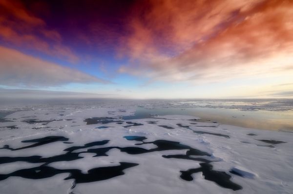
Photo credit: 12019 via Pixabay


