
Imagine you could draw a box anywhere in the ocean and instantly decide whether it might be a suitable site for aquaculture.
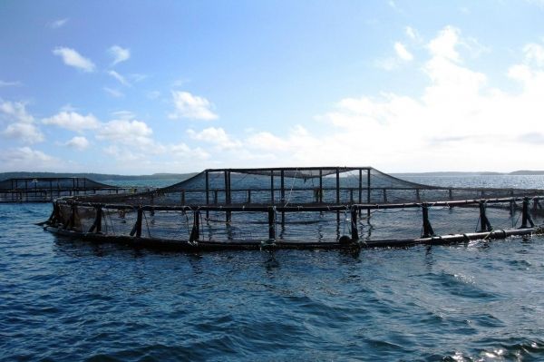
Imagine you could draw a box anywhere in the ocean and instantly decide whether it might be a suitable site for aquaculture. Thanks to a new tool, OceanReports, aquaculture stakeholders—including seafood farmers, coastal managers and regulators, and environmental organizations—can now do just that.
Developed by NOAA’s National Ocean Service and partners, the app can query more than 100 marine datasets. Within seconds, it generates custom spatial reports and infographics for any ocean space or “neighborhood.” These datasets include everything from ocean current speed to deep-sea corals and sponge observations in that area.
Though intended for all ocean industries, the development team built the app specifically with aquaculture in mind. “OceanReports is helping pave the way for sustainable aquaculture development in coastal areas,” said Nicole LeBoeuf, National Ocean Service Acting Assistant Administrator. “It exemplifies how powerful, easy-to-use tools will play an increasing role in ensuring the security and health of our ocean.”
Dr. Michael Rubino is the former Director of NOAA Fisheries’ Office of Aquaculture and new NOAA Senior Advisor for Seafood Strategy. He noted that the aquaculture industry has learned a lot over the past 30 years. They have learned how to manage marine aquaculture through past experiences, new technologies, informed regulations, and the use of best management practices.
Continue reading at NOAA Fisheries.
Image via NOAA.


