
Spacecraft provides near-real-time measurements of soil moisture to aid in weather forecasting.
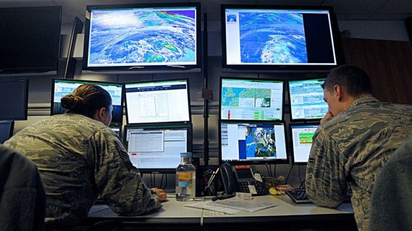
Getting stuck on a muddy road is a hassle for anyone, but for the U.S. Army it could be far more serious — a matter of life and death in some parts of the world. That's one of the reasons the U.S. Air Force HQ 557th Weather Wing is now using data about soil moisture from a NASA satellite in the weather forecasts, warnings and advisories that it issues for the Army and the Air Force.
NASA's Soil Moisture Active Passive (SMAP) spacecraft, launched in 2015 and managed by NASA's Jet Propulsion Laboratory in Pasadena, California, measures the amount of water in the top two inches (5 centimeters) of soil. Near-real-time SMAP data began flowing into Air Force computers on Nov. 19 to be used within the modeling environment powered by NASA's Land Information System (LIS). This implementation will be the first instance of assimilating SMAP data in an operational, near-real-time environment in the world.
Besides dictating how muddy or dry the land surface is, soil moisture is also a key weather-maker: It evaporates into water vapor, rises and condenses into clouds. "The forecasting model output is going to be different depending on whether soil is dry or moist," said Frank Ruggiero, the lead engineer for USAF's Numerical Weather Modeling program, run by Hanscom Air Force Base in Lexington, Massachusetts. "Sometimes those differences can significantly affect the overall forecast."
Continue reading at NASA Jet Propulsion Laboratory
Image via NASA


