
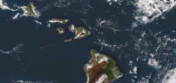
When most of us think about environmental satellites, we think about the vital weather and climate data these high-orbiting spacecraft gather — but that’s not all they do.
In the world of fisheries observations, satellites have completely changed the game. With their eyes in the sky, these super-high-tech spacecraft provide marine biologists, fishery managers and coastal habitat planners with vital scientific data that would be impossible to obtain from the surface alone. Here are 3 ways satellites complement the traditional ways of observing marine life:
1. Satellites reveal how animals ‘see’ their own sea habitats.
It is often difficult to know where sea creatures of all kinds are hidden beneath the vast ocean surface. Researchers like to place satellite tags on species like whales, sharks, tuna and turtles to identify migratory tracks in the ocean. Satellites are capable of seeing large-scale features such as currents, fronts and eddies, while the tags allow us to track animals as they navigate around these features.
When tag data is combined with data from environmental satellites, scientists can see the bigger picture when it comes to understanding why animals choose certain paths when traveling across the sea.
Continue reading at NOAA
Image via NOAA


