
Scientists have found that studying high-resolution images of whales from space is a feasible way to estimate their populations.
A team, led by British Antarctic Survey (BAS), compared satellite images to data collected from traditional ship-based surveys. Reported this week in the journal Scientific Reports, this study is a big step towards developing a cost-effective method to study whales in remote and inaccessible places, that will help scientists to monitor population changes and understand their behaviour.
The results show that satellite-estimated whale densities were about a third of the densities estimated by ship. This is positive news, because it means that although satellites have poorer detection rates than ships, they still detect enough whales to make the method useful, for example for monitoring changes in whale abundance, particularly in remote regions where more expensive, traditional surveys are difficult.
The study took place in the Antarctic Peninsula, the primary summer feeding ground for many baleen whale species. Satellite images of the Gerlache Strait region spanning ~1000km2 were collected over two days, and compared to the Brazilian Antarctic Programme’s annual ship-based whale survey, taking place at a similar time.
Continue reading at British Antarctic Survey
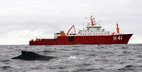
Image via British Antarctic Survey


