
Building upon more than two decades of research, a new web-based platform called OpenET will soon be putting NASA data in the hands of farmers, water managers and conservation groups to accelerate improvements and innovations in water management.
OpenET uses publicly available data and open source models to provide satellite-based information on evapotranspiration (the "ET" in OpenET) in areas as small as a quarter of an acre and at daily, monthly and yearly intervals.
Evapotranspiration is the process by which water is transferred from the land to the atmosphere, by water leaving the soil (evaporation) and water lost through plant leaves and stems (transpiration). Evapotranspiration is an important measure of how much water is used or “consumed” by agricultural crops and other plants.
In the arid western United States, where the majority of water used by people is for irrigation to grow crops, having an accurate measure of evapotranspiration is critical to balancing water supplies and water demand. Until OpenET, there has not been an operational system for measuring and distributing evapotranspiration data at the scale of individual fields across the western United States. OpenET will be available to the public next year, supplying evapotranspiration data across 17 western states.
Continue reading at NASA
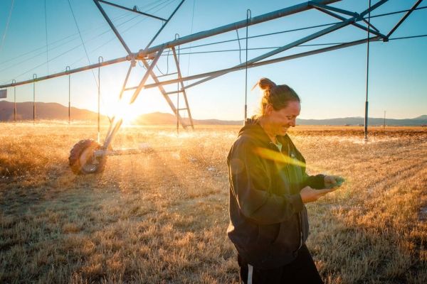
Image via NASA


