
A giant methane cloud caught by satellite in 2014 looming over the U.S. Southwest wasn’t a persistent hotspot, as first thought when it made national news.
Instead, the methane cloud was the nightly build-up of polluted air that trapped emissions of the potent greenhouse gas near the ground, according to a new CIRES- and NOAA-led study.
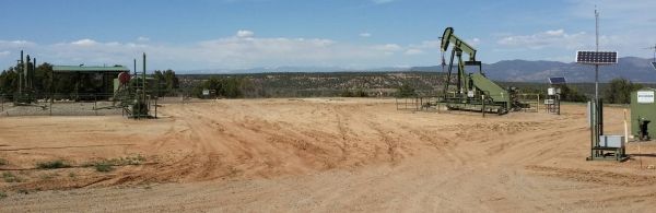
“The hotspot detected from space over the San Juan Basin doesn’t mean the region has the largest emissions of methane in the United States,” said Gabrielle Pétron, a CIRES scientist working in NOAA’s Global Monitoring Laboratory. “It does mean that this is a low-terrain region, and in this kind of terrain any methane or other pollutants emitted nearby can pool overnight.”
The satellite observations that generated headlines weren’t detailed enough to reveal the exact sources of the methane. So in 2015, scientists from CIRES, INSTAAR, and NOAA participated in a field campaign that used instrumented aircraft and vans to answer those questions.
Continue reading at Cooperative Institute for Research in Environmental Sciences
Image via Cooperative Institute for Research in Environmental Sciences


