
A tool that generates street-level maps of areas with high flood risk promises to aid future disaster planning as climate change increases the frequency and intensity of extreme weather events.
A tool that generates street-level maps of areas with high flood risk promises to aid future disaster planning as climate change increases the frequency and intensity of extreme weather events.
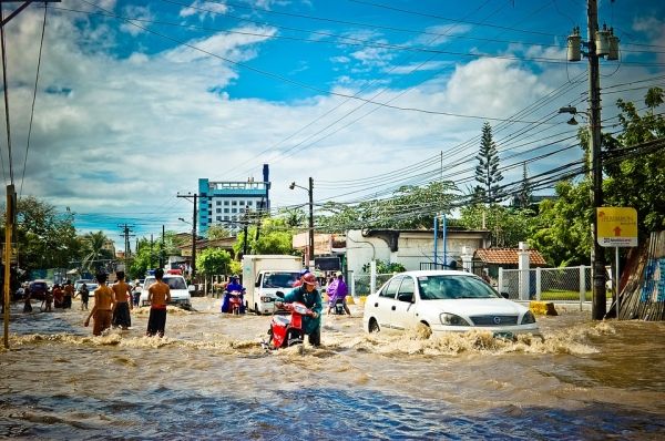
The free online World Flood Mapping Tool is geared particularly towards countries in the global South, where flood risk maps are rarely available and often out-dated, and where communities are most vulnerable.
According to the World Bank, 89 per cent of people exposed to flood risk live in low- and middle-income countries, which often lack the infrastructure to cope.
The tool, developed by the UN University’s Institute for Water, Environment and Health (UNU-INVEH) with Google and other partners, uses the Google Earth engine combined with satellite (Landsat) data from 1985 onwards. Besides detailed maps of flooding during this period, it has overlays showing population, buildings and land use to help in the planning of resilient developments and infrastructure.
Read more at SciDev.Net
Photo Credit: j_lloa via Pixabay


