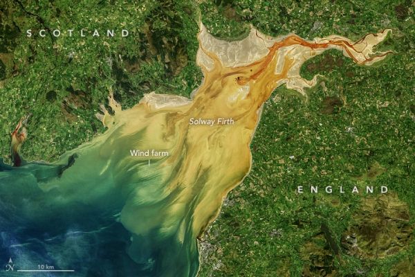
Fjords and funnel-shaped bays and inlets are often the scene of dramatic tidal changes and sediment loads.

Fjords and funnel-shaped bays and inlets are often the scene of dramatic tidal changes and sediment loads.
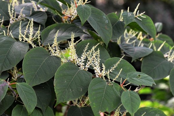
Plants that can “bounce back” after disturbances like ploughing, flooding or drought are the most likely to be “invasive” if they’re moved to new parts of the world, scientists say.
Researchers aim to use satellite technology to test new ways of merging different datasets to estimate and ultimately monitor ocean acidification.

In remote areas with low literacy rates, showing animated videos in the local language demonstrating agricultural techniques results in high retention and adoption rates of those techniques, found researchers from Michigan State University.

QUT researchers have found a treatment to extract and reuse polyester from polyester/wool mix fabrics to help prevent some of the 92 million tonnes of textiles dumped every year going to landfill.
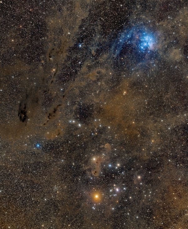
This cosmic vista stretches almost 20 degrees from top to bottom, across the dusty constellation Taurus.


