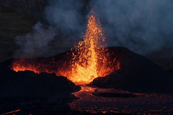
The magma reservoir of the largest volcano eruption of the Holocene is refilling.
 ENN
Environmental News Network -- Know Your Environment
ENN
Environmental News Network -- Know Your Environment

The magma reservoir of the largest volcano eruption of the Holocene is refilling.
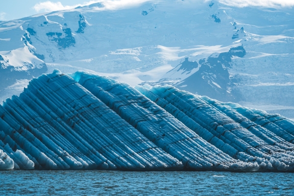
Glaciers ending in lakes, oceans or ice shelves make up 3.2% of the world’s glaciers, but lost 134bn tonnes of ice each year between 2000 and 2019, accounting for more than half of all glacier ice loss, a new study shows.
Two thousand years ago, the Arctic remnants of a once-vast ice sheet started to grow again.
Reaching net zero sooner would limit long-lasting changes to El Niño and the tropical Pacific, new climate modelling suggests, although heat stored deep in the ocean means changes to the tropical Pacific could persist for centuries.
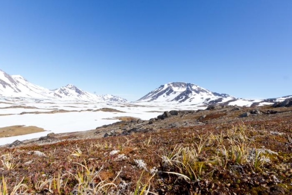
UB-led study of ancient sediment offers new insights into ice sheet retreat at the former Cold War outpost.
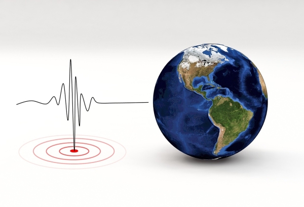
A decade-long study of earthquake activity in California has provided the strongest evidence to date that forecasting models can reliably describe patterns of earthquake activity over the following day.