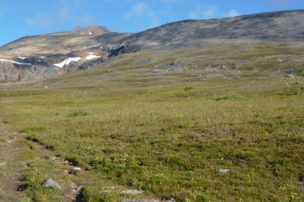
A new study released this month reveals interactions such as predation and competition between plant and animal species are much stronger in tropical regions and lower elevations.

A new study released this month reveals interactions such as predation and competition between plant and animal species are much stronger in tropical regions and lower elevations.
Two types of human-associated bacteria and three types of human viruses were detected in Milwaukee streams within the Menomonee River watershed, according to a recent study led by the U.S. Geological Survey.
Forest fires are more harmful than previously imagined, causing stunted growth in children who were exposed to smoke while in the womb, according to new research from Duke University and the National University of Singapore.
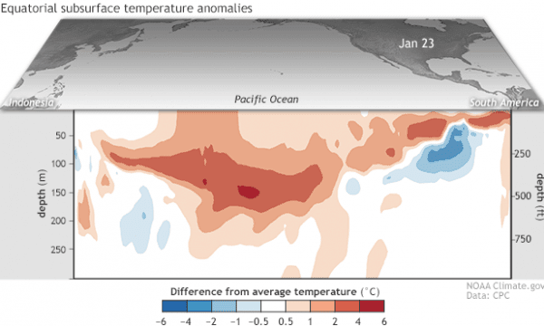
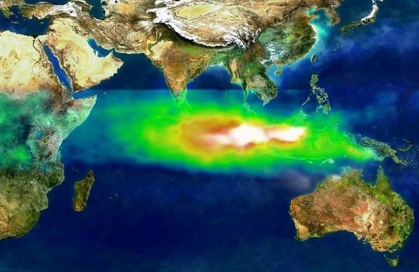
After several months of flirting, the tropical Pacific ocean and atmosphere appear to have coupled just in time for Valentine’s Day and now meet the criteria for El Niño conditions
Agriculture has become a carbon-intensive endeavour.
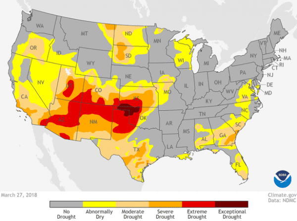
As part of their year-end national climate recap, the NOAA National Centers for Environmental Information reported on the stubbornness of extreme drought in the U.S. Southwest and Four Corners region in 2018.


